maanantai 6. heinäkuuta 2020

Back home and the end to our Roadtrip in Finland

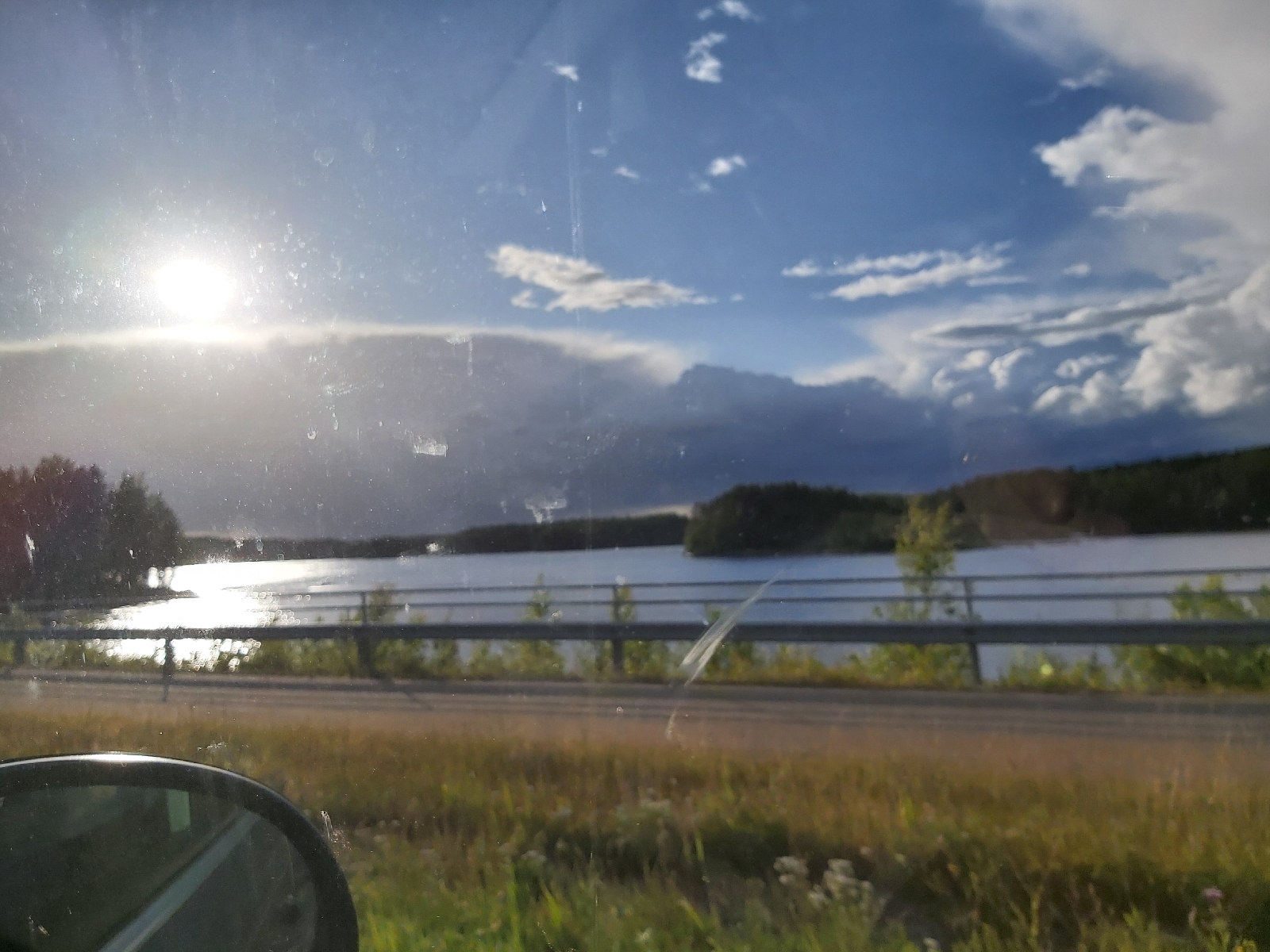
Today we drove back home. Didn't stop anywhere along the way. Well few times to eat and to change driver. In total we drove 3500km in 11 days. We saw many beautiful locations of Finland, drove to the northest point in Finland, visited Norway and saw friends and relatives. In overall a fantastic trip. We could see many Finnish people were also travelling around Finland. Many sites had more than a normal amount of people. There were surprisingly many cars on the main roads. Mainly Finnish plates, but also some Norwegian, German, British and Baltic plates. We heard from the radio, that some rental car offices in main cities had ran out of cars. Good thing for Finnish tourism. 
We asked the kids their favorite moments on the trip. You can see their answers below:

Jasmin: Savonlinna & seeing friends and relatives.

Krister: Seeing my cousins and of course the sports cars in Saariselkä

Kasmir: The sports cars and cousins. 

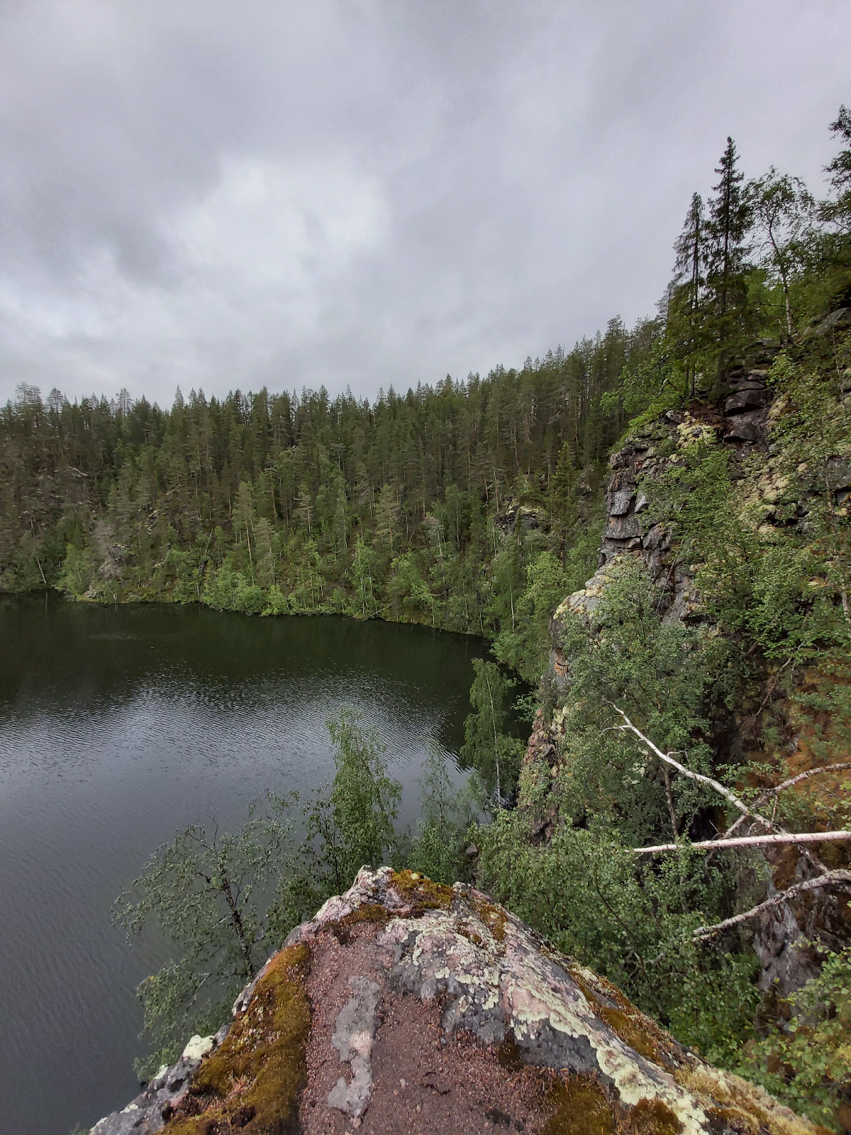
Jade: Seeing my godparents in Kajaani and Koli was beautiful and scary.

Risto (our dog): Best roadtrip ever, but I don't want to travel in a car for the next 6 months. 

Now back home we can start planning our next trip. Hopefully our next trip to Lapland will be for Christmas, but where will our next roadtrip take us. Europe ?

Everstin piilo & Rovaniemi (Roadtrip Finland)

Today was our last day at the cabin and we started our journey back home. On our way south our plan was to stop in Rovaniemi to see Anne's brother and his family. So we spent the morning packing and cleaning up the cabin. With sad feelings we had to leave, but hopefully we will be able to come back for Christmas.

Of course we did not choose the fastest route to Rovaniemi and for ages we have wanted to visit the site called Everstin piilo. Colonels hideaway. Ever since we have driven to Lapland we have always wondered what is Everstin piilo, but we have never stopped. Now would be the day. Everstin piilo is a cave and a short hiking trail. The site has a short 1,9 mile (3km) trail, but if you go to the end of the trail the distance from the road to the cave is only 546 yards (500m). The cave is famous, because lieutenant colonel Ragnar Nordström hid there when he was escaping to Sweden for exile after the war. We climbed to the cave and to a viewing point. In total we walked 1,4 miles (2,2 km). The conditions were wet, so once we got back to the car our shoes were soaking wet. 

We continued our way to Rovaniemi through smaller roads. Arrived there just after 5:00pm. The kids spent the evening playing with the cousins while the adults catched up.

sunnuntai 5. heinäkuuta 2020

Pakasaivo, Kirkkopahta and Ylläslompolo (Roadtrip Finland)


Today we spent the day fishing and sightseeing. Early in the morning the boys went fishing on the river beside the cabin. And the mosquito hats worked well, as they were able to stay outside for a while and they even got two roaches. 

After lunch we took off to Pakasaivo. Pakasaivo is a lake that is 197 feet (60m) deep and due to the fact that the water never mixes it has in a way too bottoms. The lowest level has hydrogen sulfide and lacks oxygen and therefore everything that has fallen into the lake has stayed unchangeable. It's a beautiful place with waterfalls and steep walls into the lake. We spent over an hour walking around the lake.

Kirkkopahta boulder is a Seita. A sacred place of the Sámi. The Sámi would visit the stone and leave gifts for the spirits to get good luck when fishing. It was only a short walk from the car to the sacred stone. It was impressive and apparently a lot of people had good luck with fishing.

Ylläslompolo is a lake on the southern side of Ylläs. It has a bird watching tower and nice view of Ylläs fell. We only stopped there to take pictures and returned to the cabin to make pizzas on Lapland flatbreads and return fishing. It seems it was worth visiting the Kirkkopahta seita as we caught 4 roaches and 5 perches. 

lauantai 4. heinäkuuta 2020

Tähtipolku (Roadtrip Finland)

It's seems we are lucky with the weather.  When we woke up the sun was shining, so we watched the morning news to see the weather forecast for the day. Mobile connections are bad in this area. It would be partially cloudy until 3:00pm and then the next water front would hit our area. So we decided to go for a hike and have lunch at a lean on along the path.

Todays hike would be the Tähtipolku trail, which goes to Pirunkuru (Devil's) gorge. The hike starts from Kesänkjärvi parking area. The trail goes along the northern shore of Kesänkijärvi lake for 1,4 miles (2,3km) and then turns north towards the Kesänki fell and the climb starts. The climb to the top is around 1 mile (1,6km) and accent is 886 feet (270m). Firts the trail is a path in the forest, but once you get to Pirunkuru the climb becomes more difficult as the gorge is full of small rocks. Our climb went well and once we got to the top of Kesänki fell we had a beautiful view of Ylläs and the national park all the way to Pallas. 

Our original plan was to have lunch at the same lean on where we had lunch in 2014, but the lean on had been replaced by a grill hut and a outdoor fire place. Unfortunately both were occupied with a lot of people, so we decided to continue our walk. The rest of the trail is an easy descent through the woods back to the parking area. In total the hike is 5,6 miles (9km) and we recommend it to everybody. Now the whole family has climbed Pirunkuru. In 2014 Jade was carried up the gorge, this time only the dog. Our next plan is to climb it with skis next winter/spring.

As we didn't have lunch along the way, only snacks, we returned to the cabin to prepare a late lunch. Around 4:00pm it started raining and it rained through the night. We spent the remaining of the day fishing, watching TV and of course went to the sauna to relax our  muscles. 

perjantai 3. heinäkuuta 2020

Seitakierros trail (Roadtrip Finland)

We used the opportunity to sleep a little bit longer. Well the dog wanted to go out at 7:00am, but the kids slept longer. The weather looked promising in the morning, so we started to plan our hike of the day. We had two trails to choose from: climb up Pirunkuru to the top of Kesänki fell or the Seitakierros which goes through Varkaankuru. Kuru is a gorge between fells. Pirunkuru is the devil's gorge and Varkaankuru is the thief's gorge. We decided democratically to go to Seitakierros trail, as we had hiked the other trail once before in 2014.

We ate lunch at the cabin and packed our backpacks and took off to Kellokas Nature center,  where the trail starts. We decided to walk the trail clockwise. The first mile goes along a small stream down the Ylläs fell towards Kesänki lake. Close to the lake the trail turns east and for the next two miles is quite flat, before turning south and back up the fell. The climb to the bottom of Varkaankuru is little over two miles. We had a short break before we started to climb the gorge. It was an easy climb and the speed of the kids accelerated once they saw snow on the top of the gorge. In overall the trail is 5,6miles (9km) and very enjoyable and with beautiful views of Kesänki fell and Kellostapuli fell. The trail returned back to Kellokas, where we visited the Logging museum, Jasmin collected few plants for her school assignment and we went inside the Nature Center. 

The boys had talked about fishing on the rivers along our cabin, so we stopped at Jouni's store to get fishing equipments. Once back at the cabin, Anne started to prepare supper,  while the boys went fishing. It didn't take long for them to get back inside as they were attacked by a swam of mosquitoes. It looks like we will have to get mosquito hats tomorrow to be able to continue fishing.

torstai 2. heinäkuuta 2020

Kilpisjärvi (Roadtrip Finland)

We woke up to heavy rains and strong bursts of wind. It had been raining the whole night. It was difficult to get yourself out of the sleeping bags, knowing you would have to get out and get wet. We gathered our equipment to a cooking shelter while we packed our soaking wet tents to the car.

Our target of the day was Kilpisjärvi the northest point in western Finland in the so called hand of Finland. Our plan was to cross the boarder to Norway and drive through Kautokeino and then turn back to Hetta. Hopefully there we would have better mobile coverage, so that we could plan our next place to sleep and see the weather forecast. We needed a place to dry our tents and equipment. 

The drive along Teno river and on the Norwegian side was beautiful, even though it rained heavily the whole drive. The roads were narrow and in decent conditions. There were practically no other cars. On the first 100km we only saw 15 cars. The drive to Hetta took almost 5 hours and once we got there we stopped to the Nature Center of Pallas Ylläs National park to plan our next move.

According to the weather forecast it was raining in Kilpisjärvi and it would keep raining heavily until Sunday. In overall not the best conditions to go climbing the Saana fell or hike over 14 miles (22km) to the boarder of Norway and Sweden. We were 2 hours from Kilpisjärvi and 2 hours from Ylläs. So we studied the forecast for Ylläs. Sun shine for Thursday and Friday,  so the choice was easy, we would start for our cabin and go hiking around Ylläs. 

The remaining of the drive went very smoothly as we knew we would soon have a warm dinner, get our equipment to dry and get to sleep on beds after a relaxing sauna. 

P.S. A storm called Päivö hit Finland on Tuesday and lasted until Wednesday. Over 100 000 households were without electricity.